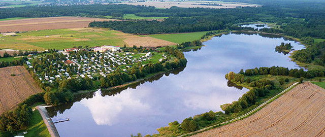
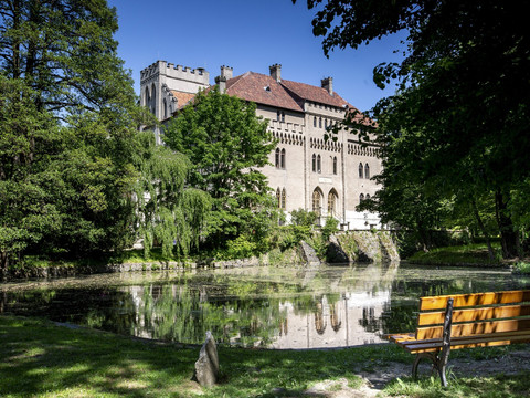
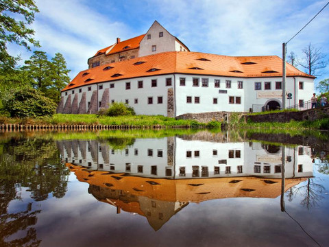
The "Lausitzer Schlange" is a regional hiking trail that winds from north to south through the West Lusatia area. The length of this section is approximately 32 km. In West Lusatia, the path leads through the well-known Seifersdorfer Tal, through the Hüttertal, past the Wallroda Reservoir, and through the Karswald.
The starting point of the hiking trail is Dresden-Bühlau. It crosses the Radeberg region, the Saxon Switzerland, the Lusatian Highlands, the Zittau Mountains, the Königshain Hills, the Upper Lusatian Heath and Pond Landscape, as well as the northern West Lusatia and ends in the neighboring federal state of Brandenburg in the Lusatian Lake District. The total length is officially stated as 468 km. Hikers can expect numerous attractions and a varied landscape.
The path is consistently marked with a red line. This has been the case since the trail marking simplification in 1982. However, the name "Lausitzer Schlange" is dated back to the 1990s.


