Over a distance of around 40 kilometers, the Saxon Way of St. James leads from east to west through the GEOPARK, past churches, stone crosses and fascinating geotopes.
On the Saxon Way of St. James through the GEOPARK Saxony's Center
At a glance
- Start: Freital-Potschappel station
- Destination: Freiberg Untermarkt
- Difficult
- 41,38 km
- 10 hours 45 minutes
- 742 m
- 439 m
- 159 m
Tour dashboard
Pavings
- Street (10%)
- Tarmac (43%)
- Gravel (26%)
- Hiking trail (17%)
- Path (5%)
Weather
General information
- Cultural Interesting
- Stop at an Inn
Freital-Potschappel station
Freiberg Untermarkt
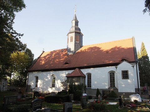
A visit to the church in Naundorf with our GEOPARK information board for pilgrims and a small stamping station is a must.
From the A17 exit Dresden Südvorstadt to Freital or via Tharandter Straße from the direction of Dresden.
Public P+R parking lot at Potschappel station with around 64 parking spaces
Take the RB30 or the S3 from Dresden Hauptbahnhof to Freital Potschappel or the RB30 from Freiberg(Sachs) to Freital Potschappel.
saechsischer-jakobsweg.de


