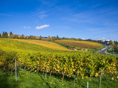
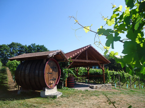
We begin our hike at the parking lot on Carl-Thieme-Straße, opposite the Norma supermarket. From here, we follow the Green Stripe and No. 8 up into the forest on Jochhöh. At a small spring (about 100 meters left of the path, signposted "Schafborn") two benches and fresh, cool water invite you to take a first break. After a further 500 meters uphill we reach the Jochhöhschlösschen, on whose currently wooded south slope there once was a vineyard. In the Baroque little castle built in 1795, there are now condominiums. Following the road for one kilometer we reach the center of Pesterwitz. Every year on the third weekend in September, a wine festival is held here where people dance and celebrate with music and fine drinks on the grounds of the renovated manor and on the Pesterwitz vineyard. After the listed St. Jakob's Church, where Pesterwitz concerts regularly take place, we briefly leave the Green Stripe and continue right on No. 8 to the viewpoint "An der Winzerei". From here we have a very beautiful view of 100-year-old Freital and, in good weather, as far as the Eastern Ore Mountains and Saxon Switzerland. After a few meters, we meet the Green Stripe again. Across the meadows at Almabach we continue to Kohlsdorf. At some point on the street "Zum Hammerbach" there is a bench carved with a chainsaw inviting you to linger. Continuing to follow the hiking sign No. 8, we pass the culture and community center "Wurgwitzer Scheune" after one kilometer, cross later the main road to Kesselsdorf and after a while reach the Niederhermsdorfer Hof, where you can enjoy a good meal.
From there we continue back towards Wurgwitz. Shortly after crossing Kesselsdorfer Straße, we turn right onto the cycling and hiking trail (Edgar-Rudolph-Weg) and now follow the Yellow Dot marking. After passing the Bombastus works founded in 1904, after another 1.5 kilometers we leave the Yellow Dot and only follow No. 8 to the left. Upon reaching Burgwartstraße, we follow it for one last kilometer until we arrive back at the starting point.


