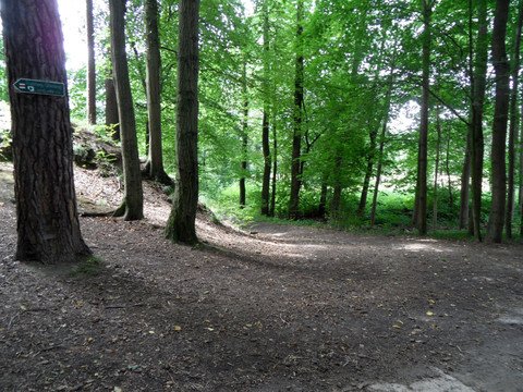
East of the Landwehr, the hiking trail follows the Wendensteig north of the suburban settlement. From the suburban settlement, a paved path continues to Wallroda. In doing so, the trail skirts the Hüttertal landscape protection area. The Hüttertal is an important local recreation area in the Dresden surroundings. Already at the Wallrodaer Hutberg, a turn can be made towards the Felixturm (200 m away) (yellow stripe). After the trail passes through the Radeberg district of Ullersdorf, it reaches the extensive forest area of the Dresden Heath via the Tanzzipfel meadow. Here it follows the historic trail marking system. Over clearing 2, the Old 4 and clearing 1, one arrives at Radeberger Straße. After crossing, the Nachtflügel, the Kreuz, and the Unterringel follow. Via the Liegauer Saugarten, the path leaves the Heath and continues to Liegau-Augustusbad down into the Seifersdorf Valley. Over the Silberberg, the trail leads to Feldschlößchen, a district of the municipality of Wachau. From here, it is only a few steps back to the Landwehr.
