Königsweg - A Hiker's Favorite in Dresden's Elbland Region



Information
- Culturally interesting
- Rest stop available
- Loop trail
Starting point
Destination
Author's tip
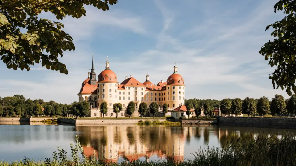
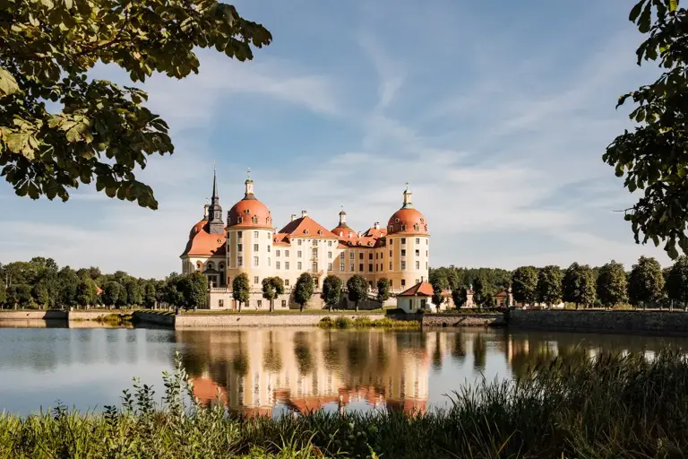
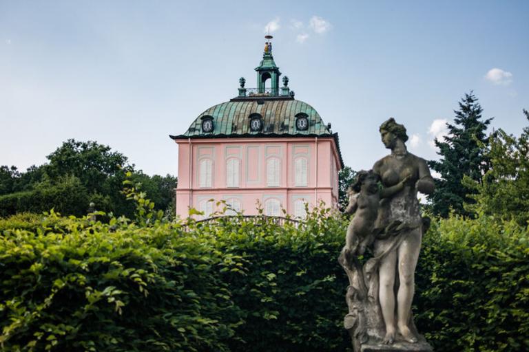
Combine your hike with a visit to Moritzburg Castle and its rotating exhibitions. Alternatively, you can visit the game reserve and the Käthe Kollwitz Museum. Find out about current events at the Moritzburg Information Center, Tel. 035207-8540. Take advantage of the dining options at Mittelteich (km 6: “Seeblick” restaurant) or at Fasanenschlösschen (km 9: “Marcolini,” “Ausspanne”).
Getting there by car
From the A4, Dresden-Wilder Mann exit and Dresden Airport: Take the S81 to the S179, about 15 minutes by car
From Meissen, Coswig:
Take
the S80 to Moritzburg, about 25 minutes by car
From Großenhain: Take the S81, about 30 minutes by car
Directions via the A13 from Berlin: Take the Radeburg exit—drive through Berbisdorf to Moritzburg
Parking
Moritzburg Castle Parking Lot (Markttreff) and 5 other parking lots nearby (paid parking; please follow the parking signs)
Public transport
Moritzburg, Schloss or Markt stop
Line +477 from Radeburg, Großenhain, and Dresden
Line 405 from Radeburg and Coswig
Line 458 from Großenhain
By train:
Lößnitzgrundbahn from Radebeul-Ost or Radeburg to Moritzburg Station
Equipment
Safety guidelines
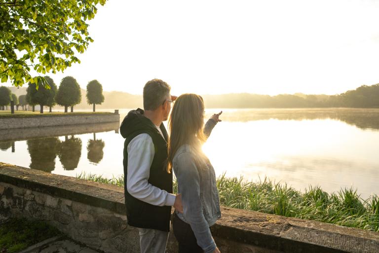
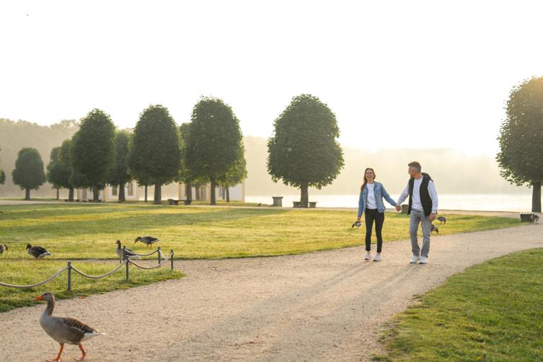
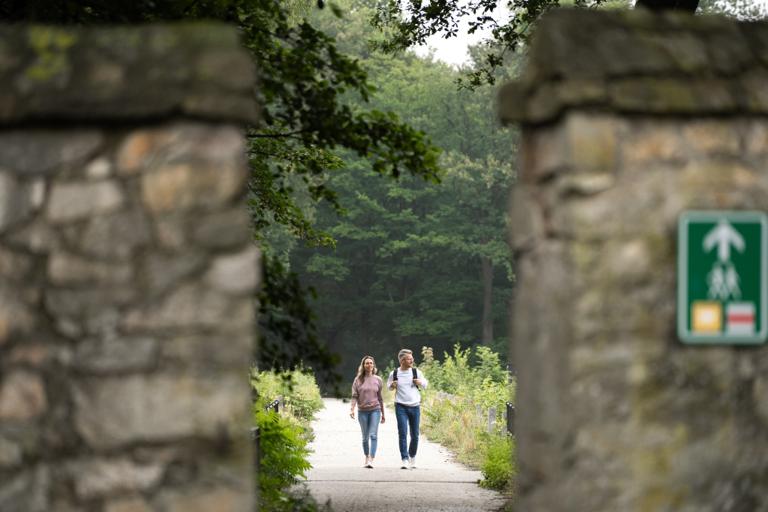
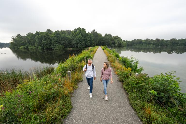
The trail is almost entirely flat and accessible. In rainy weather, some sections of the trail may be slightly muddy. More than 95% of the trail consists of natural or sand-and-gravel paths. Benches are available at intervals of approximately 500 meters or less.
Literature
You can also download the brochure for the popular "Königsweg" hiking trail here:
https://www.dresden-elbland.de/r/626723620?page=media%2Fdownload
Map/Maps
More info / Links
You can pick up the route flyer and maps at the Moritzburg Information Center (100 m away, Schlossallee 3b).


Discover the Dresden Elbland Newsletter!
Stay up to date